 Norsk
Norsk
Nordvesthjørnet and RaudfjordenBy Øystein Overrein (ed.), Jørn Henriksen, Bjørn Fossli Johansen, Kristin PrestvoldIt was here, in the far north-west, that Willem Barentsz and his crew discovered new land on 17 June 1596. They described the land as being “rugged for the most part, and steep, mostly mountains and jagged peaks, from which we gave it the name of Spitsbergen”. In the centuries that followed, the large number of bowhead whales found here attracted whalers from the Netherlands and various other countries, and the area became a place of high activity, both on the shore and in the surrounding sea. This is why Nordvesthjørnet offers the largest concentration of graves, blubber ovens and other cultural treasures on Spitsbergen, all dating back to this first era of the exploitation of Svalbard’s natural resources. 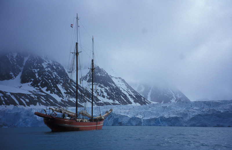 
Updated May 2015 |
The Cruise Handbook is also available in book formHard cover with numerous pictures - 249 pages - NOK 249.00 Norwegian Polar Institute |