 Norsk
Norsk
NordaustlandetBy Øystein Overrein (ed.), Jørn Henriksen, Bjørn Fossli Johansen, Kristin Prestvold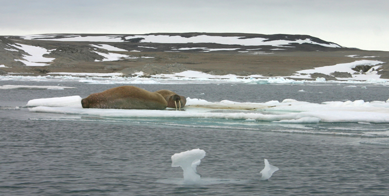
Nordaustlandet is the second largest island in Svalbard, with an area of 14,443 km². It is part of Nordaust-Svalbard Nature Reserve. The two large ice sheets of Austfonna and Vestfonna cover large areas of the island. The landscape is open and majestic with different types of landscapes, from the prominent fjords in the west and north to the massive glacier front facing east and south. From a distance, Nordaustlandet appears cold, unfriendly and unproductive. However, many places are unexpectedly lush, especially close to the bird cliffs. The vegetation on land and the production in the sea have together formed a foundation for the terrestrial and marine wildlife, creating hunting opportunities for people. There are fewer signs of human activity on Nordaustlandet than in the rest of Svalbard, although there are cultural remains from Russian and Norwegian overwintering trapping, from scientific research and expeditions and from World War II. A research station in Kinnvika in Murchisonfjorden dates from the International Geophysical Year 1957-1958. A wartime memory can also be found on Nordaustlandet in the form of Station Haudegen, the German weather station in Rijpfjorden. There is a traffic ban in the near vicinity of this station. And it was on the island of Kvitøya that the story of the Andrée expedition and its mysterious disappearance and tragic end were finally unravelled. Updated May 2015 |
The Cruise Handbook is also available in book formHard cover with numerous pictures - 249 pages - NOK 249.00 Norwegian Polar Institute |